
Building and pipe data can be exported as a GIS file (GeoJSON), a CAD file (DXF) or a network plan (PDF/PNG), for direct further processing in GIS and CAD software or to be passed on as a planning document.
| Export | Contents |
|---|---|
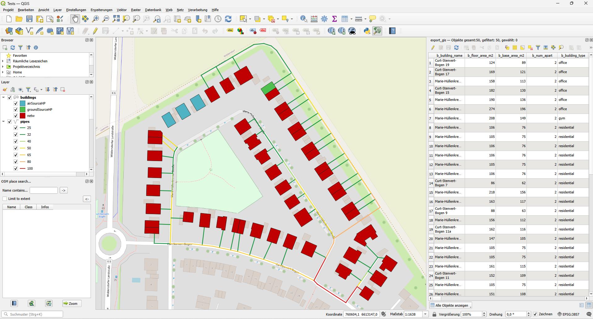
| GIS file (GeoJSON) | GeoJSON file for use in GIS software, for example QGIS or ArcGIS (sample file) |
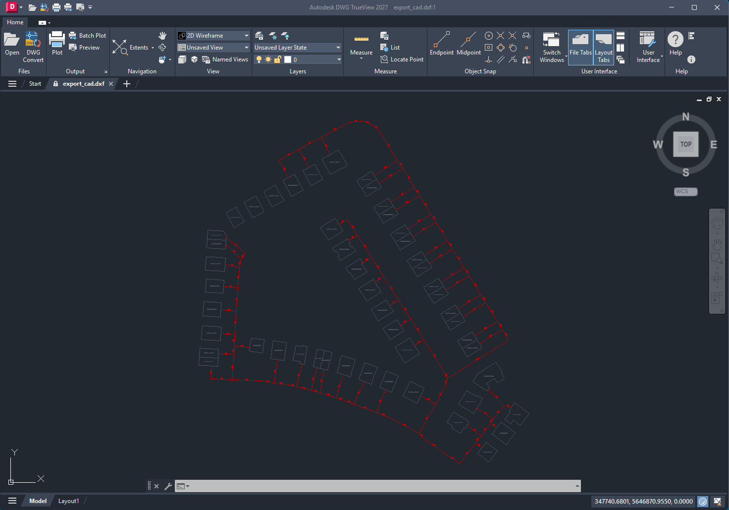
| CAD file (DXF) | DXF file for use in CAD software, for example AutoCAD (sample file) |
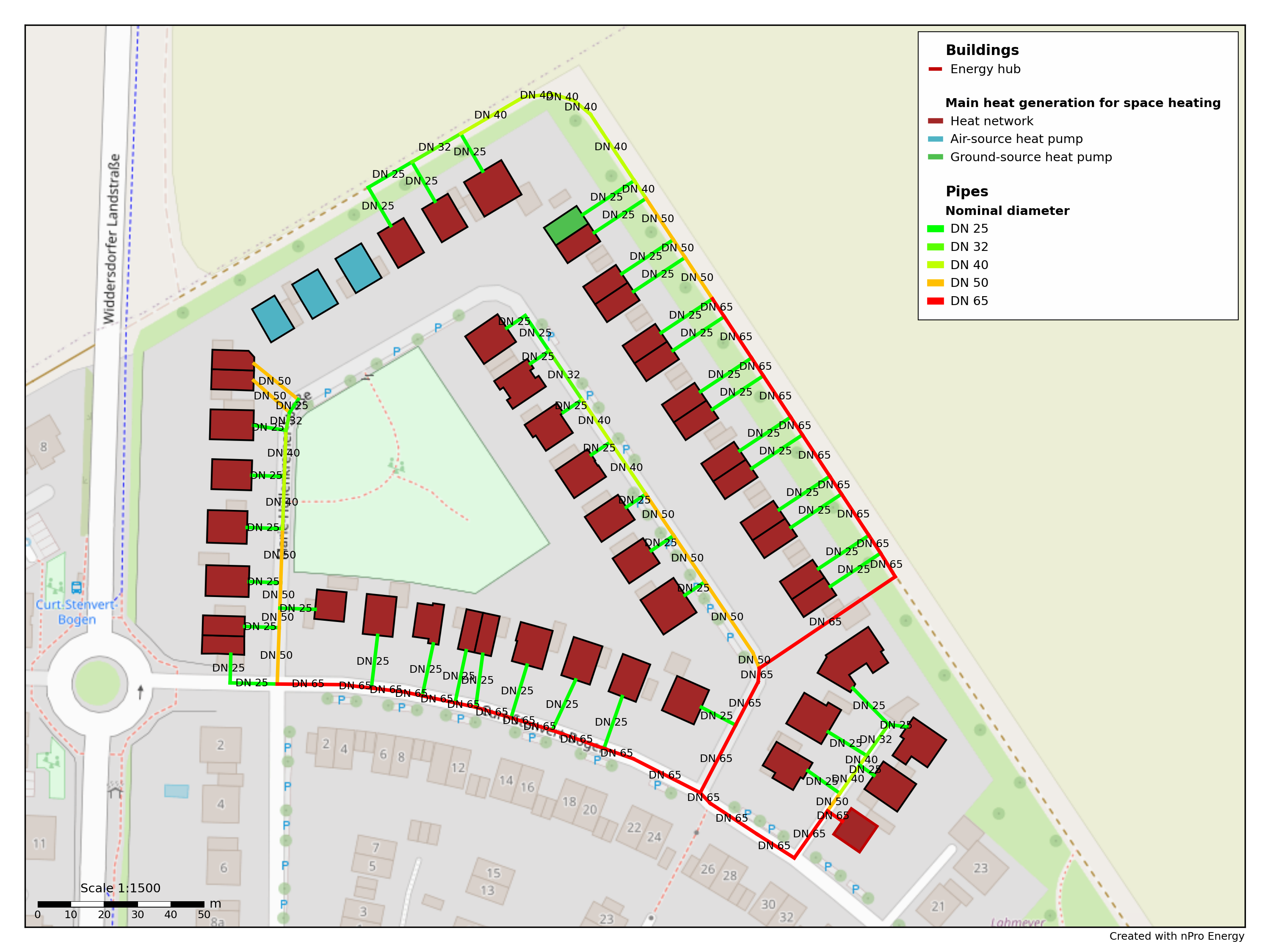
| Network plan (PDF/PNG) | Network plan as a PDF or image file for producing project drawings or reports (sample file) |
GIS file (GeoJSON)
The GeoJSON export contains the project geometries georeferenced in their original coordinates: buildings as polygons, the pipe routes of the heating network as lines. Each object carries the key attributes from nPro in its properties, for buildings including building type, floor area and heat demand, for pipes nominal diameter, length and design results. The file can be imported into QGIS, ArcGIS or other GIS software without conversion and there be styled by attribute, filtered, intersected with further geodatasets and processed further for planning purposes. (sample file)
CAD file (DXF)
The DXF export outputs the buildings and the pipe routing as a true-to-scale drawing, labelled with nominal diameters and building names. The format is supported by AutoCAD and comparable software and serves as a basis for further route and detailed design planning. (sample file)
Network plan (PDF/PNG)
The network plan outputs the map view from nPro as a ready-to-use planning document, either as a PDF or as an image file in PNG format. Paper size, map background, legend, labelling and font size can be configured before the export, so that the plan matches its intended use straight away. This produces a planning document for reports, presentations, application documents or large-format printing without any rework. (sample file)