
nPro automatically generates fully formatted project reports and BEW feasibility studies in Word format. Beyond that, all input and result data can be exported: as an Excel table, as a GIS or CAD file, or as a ready-to-use network plan.
Export formats
| File format | Exports |
|---|---|
| Reports (Word) | Detailed report, summary report, BEW feasibility study (module 1), potential analysis |
| Tables (Excel) | Building details, building list, pipe list, fittings list, load profiles, temperature profiles and heat losses, energy hub (generators), weather data, results and variant comparison |
| GIS + CAD | GIS file (GeoJSON), CAD file (DXF), network plan (PDF/PNG) |
The report writes itself
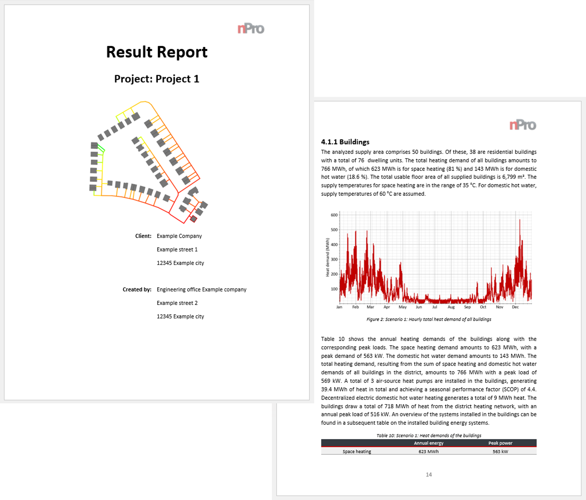
Every project can be turned into a complete project report in Word format at the click of a button: cover page, tables of contents, figures, result tables and explanatory text containing the actual project figures, from demands through network design and energy hub to the variant comparison. The scope is defined before the export, and individual chapters or the entire economic analysis can be left out. For funding applications, nPro additionally provides a draft BEW feasibility study (module 1) following the structure of the funding guideline: every chapter that can be derived from the project is filled in, and the remaining ones come with placeholders quoting the relevant extract from the information sheet at the right point.
All the numbers, ready to work with
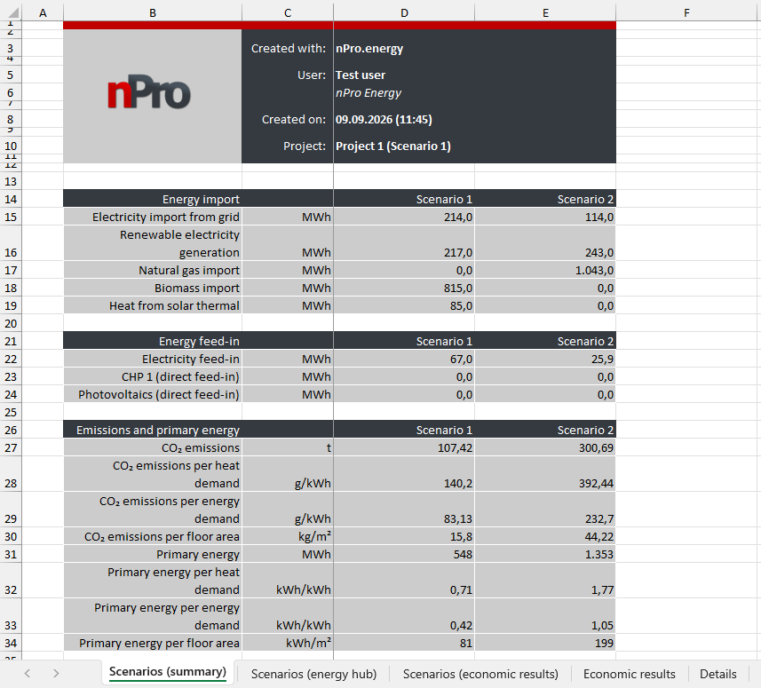
Whatever nPro calculates can also be exported: building and pipe lists with all design results, the fittings list for quantity take-offs, load profiles and network temperatures for each of the 8,760 hours of the year, and the results overview with the economic analysis and variant comparison. Excel exports are available at numerous points throughout the tool, and load profiles additionally come as CSV, TXT and Modelica TXT for use in your own simulation models.
From model to planning document
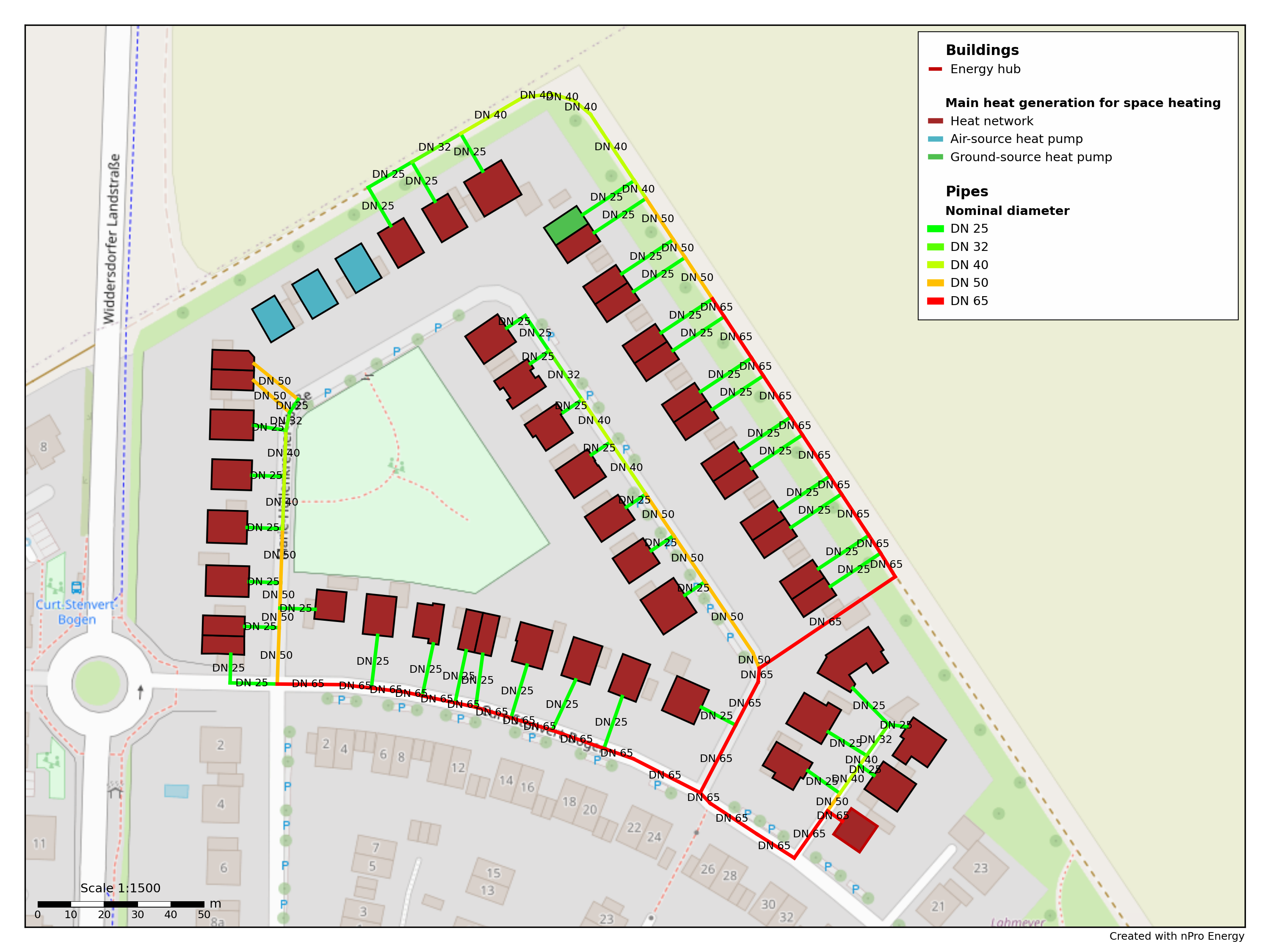
Buildings and pipe routes leave nPro georeferenced and with all their attributes: as GeoJSON for QGIS or ArcGIS and as DXF for AutoCAD, labelled with nominal diameters and building names. If the plan is to be passed on directly, the map view can be exported as a network plan in PDF or PNG format, with configurable paper size, legend and labelling, print-ready without any rework.