

nPro is georeferenced throughout: building and pipe data can be imported from common GIS formats, edited on the map and exported again as a GIS, CAD or plan file.
Overview
Importing GIS data
- Supported formats: Excel, CSV, GeoJSON, shapefile (as ZIP), geopackage and Stanet files
- Two import modes: create new buildings and pipe routes, or enrich existing buildings with additional data
- Pipe routes from line geometries: LineString objects are imported as potential pipe connections, optionally including the nominal diameter
- More than 40 building parameters, from floor area and heat load to temperature levels and charging capacities
- Self-learning field mapping: nPro increasingly recognises data field names automatically and converts differing units on its own
For details, sample files and notes on coordinate systems, see Importing GIS data.
Exporting GIS data
- GeoJSON for further processing in QGIS, ArcGIS and other GIS software
- DXF for CAD programs such as AutoCAD
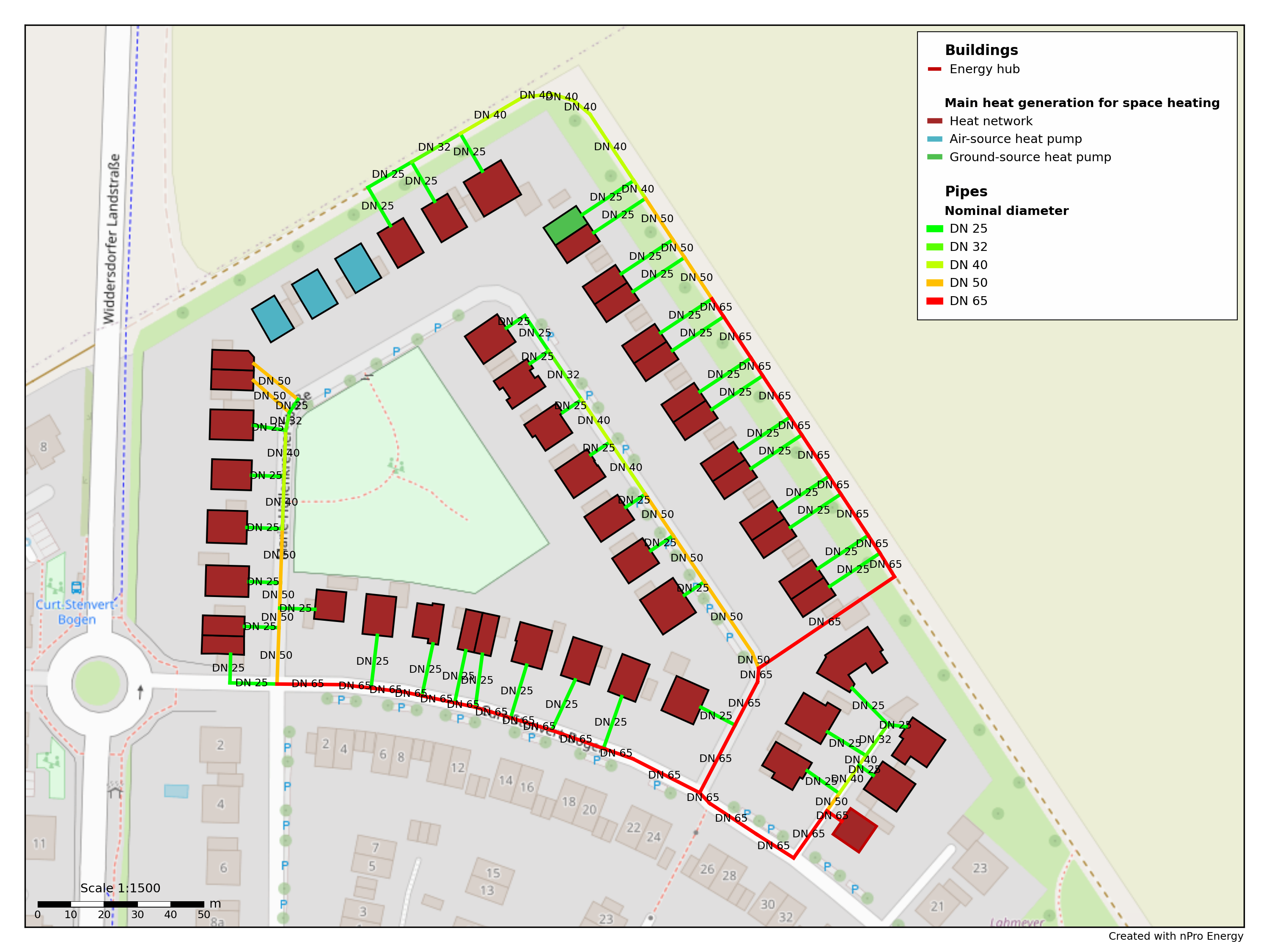
- Network layout as PDF or PNG for project plans and reports
For an overview including sample files, see GIS exports.